Tropical Cyclone: Largest Tropical Cyclone (winds from center)
| Record Value | Gale winds [17 m/s, 34 kt, 39 mph] extending 1100 km (675 mi) from center |
|---|---|
| Date of Event | 12/10/1979 |
| Length of Record | 1945-present |
| Geospatial Location | Typhoon Tip [16°44'N, 137°46'E] |
Reference
Krause and Flood, 1997: Weather and Climate Extremes, US Army Corps of Engineers Topographic Engineering Centerpp. 89; , Dunnavan, G.M. and J.W. Diercks (1980): "An analysis of Sypertyphoon Tip (October 1979)" Mon. Wea. Rev., 180:1915-1923
Additional Images
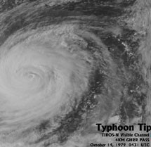
Overhead satellite view of Typhoon Tip
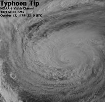
Alternate overhead satellite view of Typhoon Tip
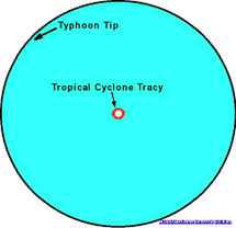
Illustration of the difference in size between Typhoon Tip (largest) and Tropical Cyclone Tracy (smallest)
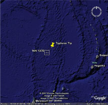
Closeup Satellite Images of Pacific Region for Dropsonde into Typhoon Tip
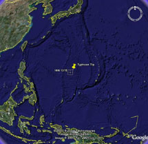
Regional Satellite Images of Pacific Region for Dropsonde into Typhoon Tip